About LEICA TS 01 R500 5"
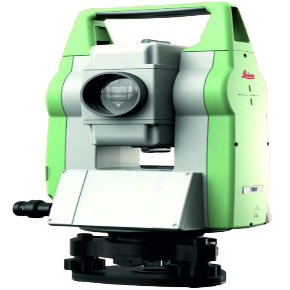
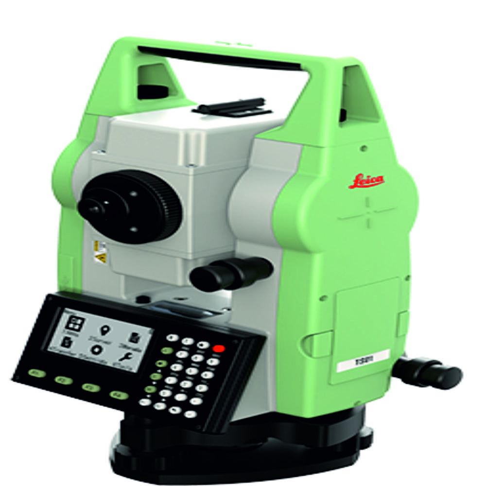
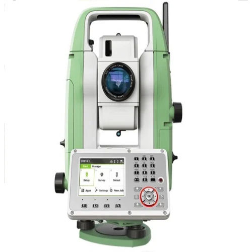
The Leica TS01 R500 5" Total Station is a reliable and high-performance reflectorless total station engineered by Leica Geosystems, a Hexagon company, for professionals engaged in land surveying, construction layout, topographic survey, road alignment, infrastructure development, mining, and engineering projects. Combining Leica's world-renowned optical quality with advanced electronic measurement technology, the TS01 R500 delivers exceptional accuracy, productivity, and durability at an affordable price.
Designed for surveyors, civil engineers, contractors, and infrastructure professionals, the Leica TS01 R500 Total Station offers 5-second angular accuracy and 500 m reflectorless EDM range, making it an ideal solution for measuring inaccessible points safely and efficiently. Its intuitive interface, large display, and onboard application programs help improve workflow while minimizing errors in the field.
Built to withstand demanding site conditions, the Leica TS01 R500 features an IP66-rated dustproof and waterproof housing, ensuring reliable operation in rain, dust, and challenging outdoor environments. The instrument also offers long battery life, high-speed measurements, and Leica's renowned precision, making it a preferred choice for daily surveying applications.
Key Features
- Leica TS01 R500 5" Reflectorless Total Station
- 5" Angular Accuracy for precise surveying and construction layout
- 500 m Reflectorless Distance Measurement for fast and safe measurements
- Up to 3,500 m Prism Measurement Range
- High-speed and accurate Electronic Distance Measurement (EDM)
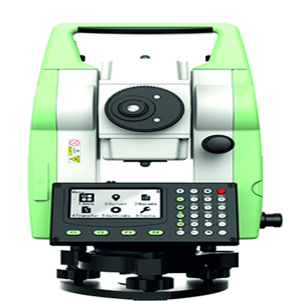
- Large backlit LCD display with user-friendly interface
- Built-in surveying and stake-out applications
- Dual-axis compensator for improved measurement accuracy
- Laser plummet for quick and accurate instrument setup
- Long-lasting rechargeable battery for extended field operation
- Rugged IP66 Dustproof & Waterproof construction
- Lightweight, compact, and easy to transport
- Reliable Leica optics for superior measurement quality
Precision and Flexibility for Surveying TasksDesigned for all survey and construction work, the LEICA TS 01 R500 5" ensures precise angular measurements and reliable data capture. With selectable angle readouts and a dual-axis compensator, it handles varied site conditions effortlessly. Its construction and features deliver adaptability and performance for applications ranging from general surveying, construction layout, to flooring alignment.
Convenient Data Handling and User InterfaceStore and manage projects effortlessly using internal memory or SD card expansion. The unit provides easy data transfer via USB and RS232, streamlining workflow between the field and office. The graphical, double-sided display enhances usability, while the alphanumeric keyboard with dedicated function keys simplifies input and navigation.
FAQ's of LEICA TS 01 R500 5":
Q: How do I transfer data from the LEICA TS 01 R500 5" to my computer?
A: You can transfer data easily using the USB or RS232 interfaces. Additionally, storing information on an SD card allows for convenient project handover and backup.
Q: What are the benefits of the dual-axis compensator in this total station?
A: The dual-axis compensator enhances accuracy on uneven surfaces by automatically correcting minor instrument tilts, ensuring reliable measurements in challenging conditions.
Q: When should I use the 1" versus the 5" minimum angle readout?
A: Select the 1" readout for tasks requiring high precision, such as fine construction alignment or detailed surveying, and the 5" setting for general applications where speed is prioritized over extreme accuracy.
Q: Where is the laser plummet useful during setup?
A: The built-in laser plummet helps you align the instrument quickly and accurately over ground markers or reference points, an essential step before starting any survey or construction measurement.
Q: What types of projects can I use the LEICA TS 01 R500 5" for?
A: This instrument is versatile, suitable for all surveying and construction projects, including layout, topographic surveys, and precise flooring work, thanks to its accurate measurement capabilities and robust construction.
Q: How does the Leica FlexField software enhance my workflow?
A: Leica FlexField provides intuitive controls and streamlined survey routines, enabling efficient data collection and management in the field, reducing manual errors and improving productivity.







 Send Inquiry
 Send Inquiry
 Send SMS
 Call Me Free